 Catalogue PIGMA
D7: Hydrographical Conditions
Type of resources
Available actions
Topics
Keywords
Contact for the resource
Provided by
Formats
Representation types
Update frequencies
status
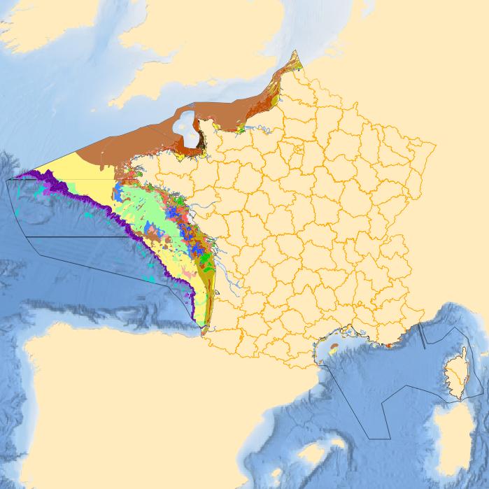
Scale
-
-
-
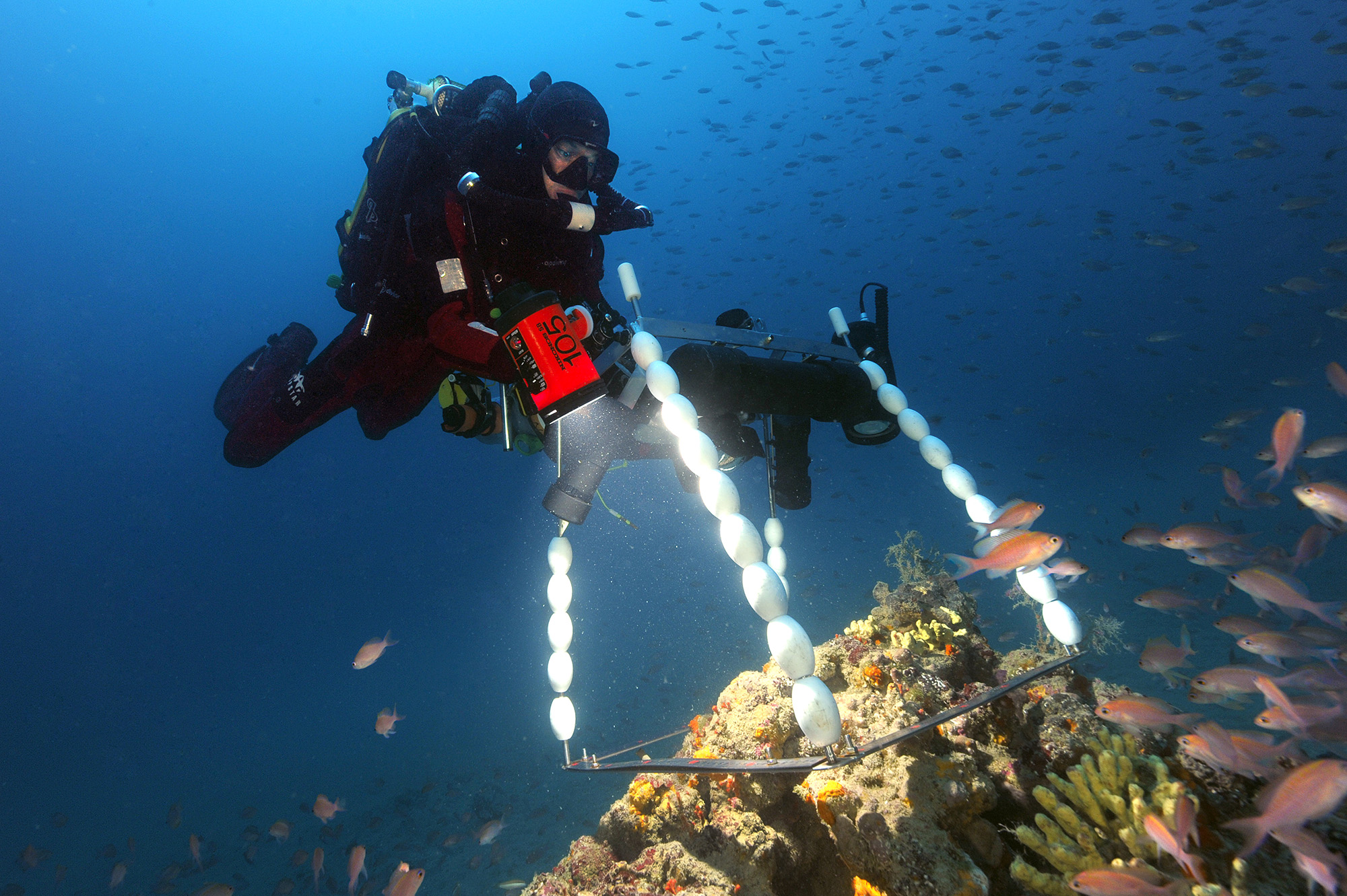
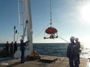
Coastline monitoring : Aquitaine coast (sandy coast since 1996, rocky coast since 2000), Corsican coast (since 2000 or 2002 depending on the site), the Pays de Monts coast (since 2010), the PACA region cliffs (work in progress). This project includes a number of coastal monitoring measures implemented on a local scale by the BRGM (the French Geological Survey) within the framework of the Aquitaine Coastal Observatory, the Corsican Coastal Observation Network and the Pays de Mons Coastal Observatory.
-
-
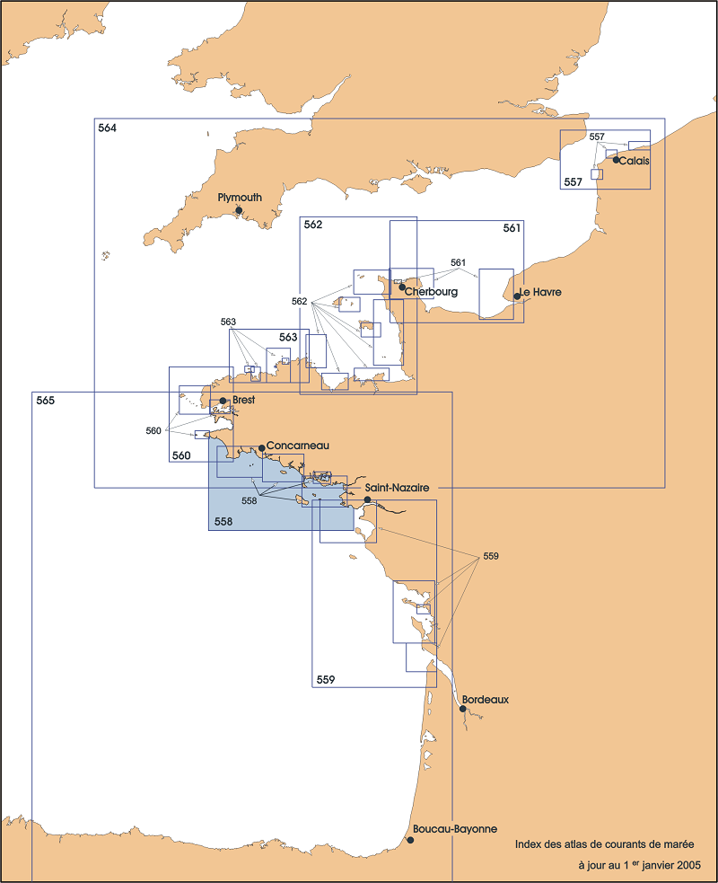
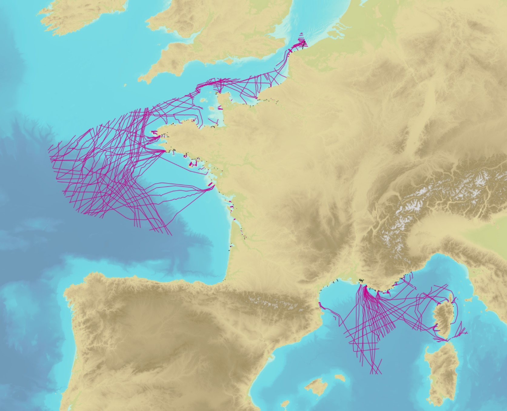
Tide current atlas
-
-
-
The product contains a description of submarine cables and pipelines brought to the attention of Shom on French areas of responsibility. These are 2D linear objects of the seabed that divide into two categories: • The submarine cables: these are cables placed on the seabed where electricity or information (telecommunication) flows. They represent the vast majority of objects (more than 90%); • Emissaries and submarine pipes: these are pipes that allow the discharge, sampling or circulation of fluids.
-
-
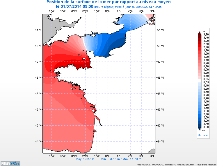
The hydrodynamic MARS 2D model on the Channel / Bay of Biscay coasts is a 2D model of 700m spatial resolution providing currents, sea levels, and maximum/minimum tide levels every hour (4-day forecasts).